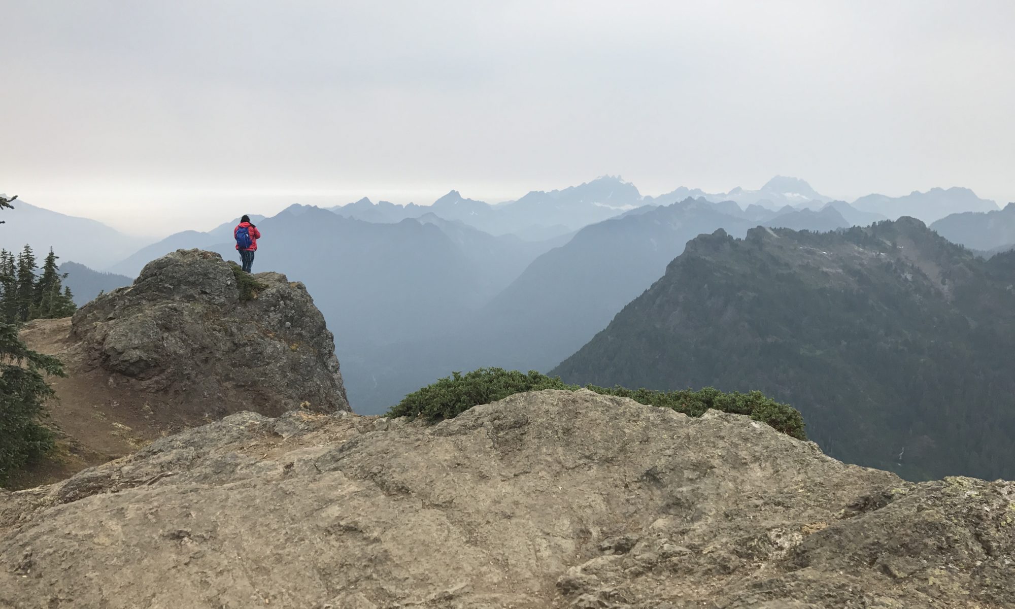
I don’t know why, but I love doing hikes to a fire tower – maybe it’s just the novelty of seeing a man-made structure after walking through miles of wilderness. Granite Mountain Trail takes you up, up, and up to the top of a mountain with a lookout that was originally built in 1924.
This hike is 8.6 miles out and back, with 3800 ft of elevation gain. It’s relentlessly uphill, so be prepared for your legs to hurt!
Getting to the Trailhead
The trailhead for Granite Mountain is right off of I-90, to the east of Seattle. When I moved to Washington, I quickly realized that many of the best hiking trails required driving long distances on windy gravel roads covered with potholes. So the ease of access is a huge plus to this trail.
I arrived at the trailhead at 8:30 AM and the parking lot was already full, with more cars parked along the road leading to the trail head. So if you’re wondering how early you need to get to a popular trail near Seattle on a beautiful summer day to beat the crowds, the answer is much earlier than 8:30 AM!

When I go hiking alone, I actually prefer to be on busy trails because if anything were to happen, there are plenty of people around to provide assistance! Plus it’s much more difficult to get lost.
The hike to Granite Mountain shares a trailhead with Pratt Lake trail, and you must have a Northwest Forest Pass to park there ($30 for a yearly pass).
Granite Mountain trail starts off suspiciously easy!
The first mile is a gradual climb and wanders though a beautiful forest, crossing a few streams. After 1.2 miles, the trail splits off with Pratt Lake to the left and Granite Mountain to the right.
At this point, the trail begins steep switchbacks up the mountain. After about a mile you leave the shade of the forest and enter alpine meadows. The views are spectacular, but if it’s hot there’s no shelter from the sun.
If you look to the south, you can see Mt. Rainier peek out above the other mountains as you gain elevation. There are several other peaks that present themselves, providing 360 degree mountain views.

There are two ways to get to the summit.
Towards the top there is a small meadow, with two options for reaching the summit: the “boulder route” is to the left, and requires scrambling on boulders along the ridge, and the “summer route” to the right, which is slightly longer, but gently ascends through the meadow.

The summer route is often covered with snow until late July, which can make the boulder route more attractive to some people. I did this hike on July 14, and there were still a few patches of snow. All the snow was on flat ground however, which made it easy to traverse.
I was a bit confused by the different options at first and ended up doing the boulder route up to the top and coming down on the summer route. The boulder route is definitely more scenic and provides ridiculously amazing views in either direction along the ridge. It does require some minor scrambling over rocks, and if you have a dog you will have to take the summer route.

Take a few minutes to enjoy the scenery at the summit!
The lookout tower is normally closed to the public, but provides a nice spot to rest and eat lunch. On a nice day in the summer, expect the summit to be quite crowded. Luckily, the abundance of boulders on the ridge provides ample spots to rest while enjoying the views.
Unfortunately, what goes up must come down, and descending a steep trail like this one can be difficult on the knees. I kept thinking I was almost to the end, but the trail just kept going!
It took me about 5 hours to do the entire hike, but that includes spending some time at the top to eat and take photos.
Overall, I highly recommend this trail to anyone who wants a great workout with a nice payoff at the end.


